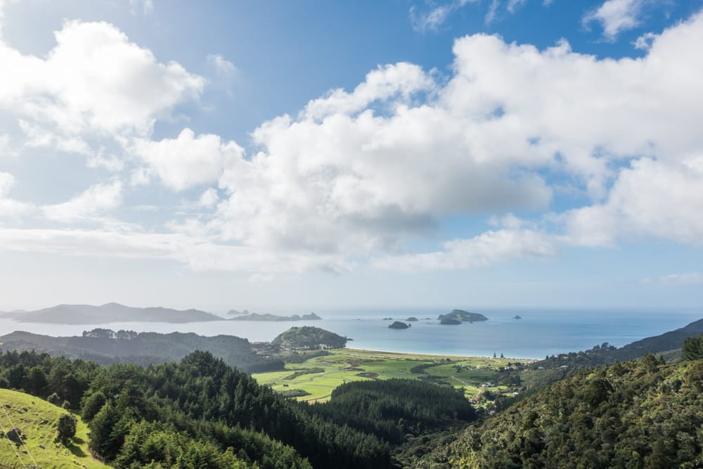
New Zealand is a hikers’ Mecca. Both islands are dotted with fun walks to gorgeous viewpoints. One of those hikes is the Mahinepua Peninsula Track. It’s a lesser known hike, but definitely worth driving to the edge of the Northland region for.
Keep reading to find out more about hiking the Mahinepua Peninsula Track and how to get there.
How to get to the Mahinepua Peninsula Track
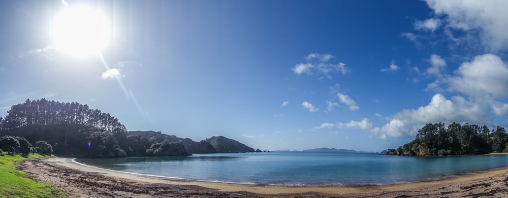
The Mahinepua Peninsula Track is located in the Mahinepua Peninsula Scenic Reserve, on the North Island of New Zealand. The hike starts at Mahinepua Beach. It’s pretty much in the middle of nowhere, with only a dead-end road leading there. The nearest (more or less) big city is Whangarei, 124 km to the south.


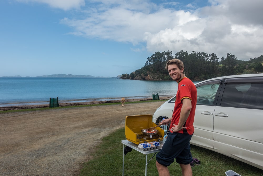
The walk is what they call off the beaten track, so there aren’t any tour busses or public transport that’ll get you there. You’ll need your own vehicle. We parked our campervan at Mahinepua Beach, where we had lunch looking over Mahinepua Bay. You can find directions via the map on the right, or in the NZ Frenzy guidebook.
When clicking on one of the markers on the map on the right, you’ll get a link to the DoC website and a link called “Directions” that will take you to Google Maps with this location marked.

Hiking the Mahinepua Peninsula Track
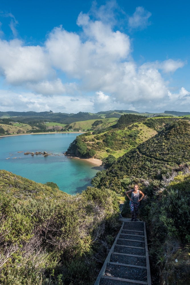
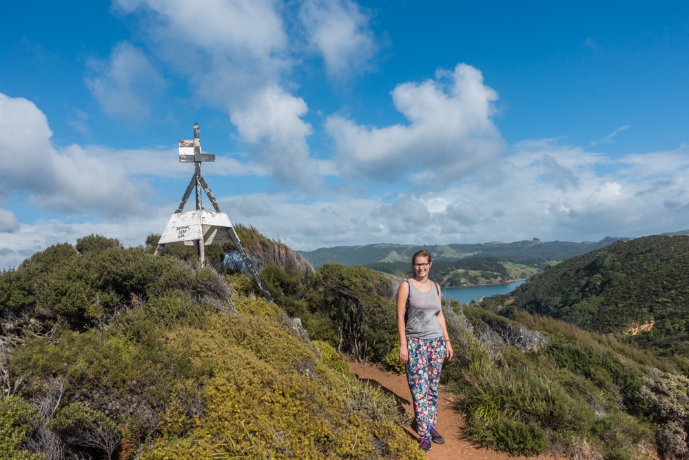
As the name suggests, the Mahinepua Peninsula Track takes you out onto the Mahinepua Peninsula, granting stunning views over the bays down below. You’ll have to conquer a couple of hills to get to the Omiru Trig, but it’s worth the sweat! You’ll pass a couple of sheltered bays, where you can take a break and spend some time on the beach or in the water, so bring your swimwear during summer!


The Mahinepua Peninsula Track is 3 km, one way. It took us about 1.5 hours in total to complete, without any breaks at the sheltered bays you’ll pass. Even though it was a sunny autumn day, hotter than expected, it wasn’t quite hot enough for some swimming.
It’s a nice walk over a grass path and the views over the ocean and shorelines are outstanding. Be careful though, as the grass is reduced to mud at certain points, making it slippery. While walking, keep an eye out for the mansions along the shorelines. What a view to wake up to every day!

The Mahinepua Peninsula Track in short
What? a hike with stunning coastal views
Where? in the Mahinepua Peninsula Scenic Reserve, 124 km north of Whangarei
Distance? about 6 km or 1.5 hours return
Cost? free
Bring? swimwear
Check out the NZ Frenzy guidebook for more information on the Mahinepua Peninsula Track and other things to do in New Zealand.
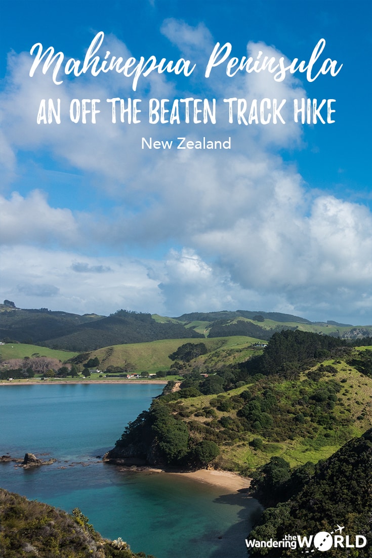
Like it? Pin it!
Did you find this post helpful? Help us spread the word by sharing this post or pinning the following image.
